Lecture
1. General characteristics of the profession
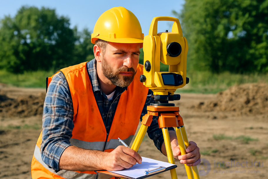
Specialist in mapping areas, conducting instrumental surveys, calculations and making plans.

2. Official duties
Conducting instrumental surveys, calculations related to the preparation of plans, maps of the area, geodesic control of industrial, residential, hydraulic structures during construction and operation.
3. Qualification requirements
Education: mountain universities, institutes of geodesy and cartography. Must know the basics of cartography and geodesy, different methods of surveying the terrain, mathematics, drawing, methods of using engineering-geodetic and photogrammetric instruments
Comments
To leave a comment
Professions and specialties
Terms: Professions and specialties